
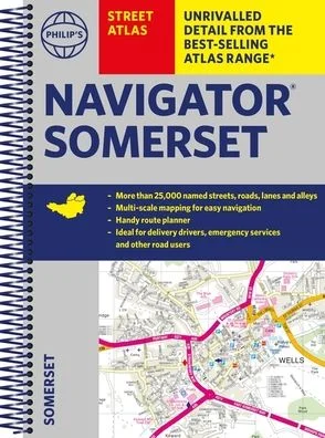
Description
The only county atlas with all the named streets of Somerset – m
ore than 24,000 named streets, roads, lanes and alleys – ideal for finding the best and most effective route anywhere in the area.
Includes all the streets in BATH, BRIDGWATER, FROME, TAUNTON, WESTON-SUPER-MARE, YEOVIL, Bruton, Burnham-on-Sea, Castle Cary, Chard, Crewkerne, Clevedon, Cheddar, Glastonbury, Ilminster, Keynsham, Minehead, Midsomer Norton, Nailsea, Portishead, Sherborne, Shepton Mallet, Street, Somerton, Wincanton, Watchet, Wedmore, Wells, Wellington, Yatton.
With
Super-clear mapping, it is routinely used by the emergency services and professional drivers. The
Route planner section shows all the A and B roads and can be used to get close to the destination before turning to the relevant large-scale street map.
Packed with useful information including car parks, railway and bus stations, post offices, schools, colleges, universities, hospitals, police and fire stations, places of worship, leisure centres, footpaths and bridleways, camping and caravan sites, golf-courses, and many other places of interest.
All this and an
easy-to-use comprehensive Index with colour-coding for quick reference.



Reviews
There are no reviews yet.